About
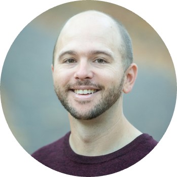
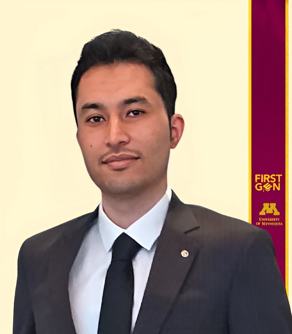
My name is Sayed Ali Hossaini. I was born in Kabul, Afghanistan, and currently reside in Minneapolis, Minnesota. I earned two Master’s degrees from the University of Minnesota—one in Geography and one in Geographic Information Science (GIS)—in 2022.
The photo above was taken during my hands-on session at the "Getting Started with PGC Data Workshop" in 2024. I had the privilege of guiding participants through foundational geospatial concepts including Digital Elevation Model (DEM) coregistration, accuracy analysis, and glacier elevation change modeling.
GIS Analyst / Developer
I’m a GIS Developer and Analyst with a strong foundation in geospatial analytics, imagery processing, and spatial modeling. My work bridges technical rigor with real-world impact, using GIS to inform decisions across industries such as retail analytics, site selection, solar energy, and polar research..
With a background in remote sensing, cartography, and geospatial AI, I’ve developed end-to-end solutions for analyzing satellite imagery, automating map production, and building interactive spatial dashboards. I take pride in turning complex geospatial data into actionable insights.
I’m currently seeking opportunities as a GIS Developer or Analyst where I can apply my skills in a collaborative, forward-thinking environment—one that encourages innovation, supports professional growth, and applies location intelligence to drive enterprise strategy.
My CliftonStrengths® Signature Themes
The Clifton StrengthsFinder assessment measures my recurring patterns of thought, feeling, and behavior. This information helps individuals, teams and organizations leverage their Talents, and turn them into sustainable Strengths. [Read more on Gallup].
Focus
I prioritize, then act. I can take a direction, follow through and make the corrections necessary to stay on track.
Consistency
I am keenly aware of the need to treat people the same. I crave stable routines and clear rules and procedures that everyone can follow.
Relator
I enjoy close relationships with others. I find deep satisfaction in working hard with friends to achieve a goal.
Facts
I have ...
Geospatial Projects; I dedicated my skills in spatial teamwork projects with a problem-solving approach.
Volunteer Experiences; I contributed in professional development opportunities and community services.
GIScience Students; As a lab instructor, I taught students to think spatially and develop GIS/mapping skills.
Non-expert Students; As a teaching assistant, I supported them for inclusive learning and using GIS technologies to create and communicate effectively with maps.
Technical Skills
Projects
Testimonials
Resume
PDF VersionSummary
Ali Hossaini
I am a GIS developer at Polar Geospatial Center (PGC). My role is building and maintaining imagery management and processing workflows, coordinating data production in response to customer requirements, and leveraging High Performance Computing (HPC) resources to achieve production goals.
- LOCATION: R280 Learning & Environmental Sciences 1954 Buford Avenue Saint Paul, MN 55108
- CONTACT: 612-626-0505 hossa084@umn.edu
Education
Master of Geographic Information Science
2021 - 2022
University of Minnesota
Master of Arts in Geography
2019 - 2022
University of Minnesota
Bachelor of Science in Geomatics Engineering
2013 - 2017
University of Isfahan
Volunteer Experience
Social Activist, Event Organizer
2022
Afghan Cultural Society
Volunteer service, Map Native Plant Communities
2022
Minnesota Department of Natural Resources
Student Assistant, MN GIS/LIS 2021 conference
2021
Minnesota GIS/LIS Consortium
Volunteer Interpreter/Translator, Farsi/Dari Language; assisted staff and volunteer attorneys
2021
The Advocates for Human Rights
Student Volunteer, MN GIS/LIS Mentor Program
2020
Minnesota GIS/LIS Consortium
Awards
Albert Einstein German Academic Refugee Initiative (DAFI) scholarship
2014-2017
United Nations High Commissioner for Refugees (UNHCR), Tehran, Iran
Conference Participataion
Esri User Conference, Virtual and in-person conferences
2020 & 2021 & 2022
Virtual conference, ESRI
Practice and Experience in Advanced Research Computing (PEARC)
2021
Spatial Data Science Conference (SDSC)
2020
Professional Membership
American Association of Geographers (AAG) Membership
2020- Present
Geographic Information Science Student Organization
2019 - Present
Languages
Persian, Dari, Farsi
Native
Professional Experience
Geospatial Developer at Polar Geospatial Center (PGC), 2023 (Oct. - Now)
Designed and implemented AI/ML tools for processing large-scale remote sensing datasets using Maxar imagery.
Managed the OGR dataset archive, oversaw the creation of ortho/mosaics, and led production of DEM products.
Spearheaded the migration of workflows and tools from ArcMap to ArcGIS Pro, improving efficiency and functionality.
Leveraged High Performance Computing (HPC) resources to optimize large-scale data processing and production workflows.
GIS Specialist at Apadana Technology, 2023 (Nov. - Oct.)
Spearheaded the digital marketing efforts for solar equipment web design, online sale analytics, e-commerce database management, customer support, and advertising campaigns.
Led team in acquiring, integrating solar energy geospatial and remote sensing datasets for renewable energy initiatives.
Performed site assessment and layout planning by utilizing PVcase in solar panel installation design and engineering through spatial modelling solutions.
Developed custom Python scripts utilizing libraries like PVlib, NumPy, and GeoPandas to streamline and automate the analysis process.
Internship at Guidewire Software Inc., 2022 (Summer)
Performed data munging and cleaning to convert public utility data such as fire station into standardized database through multi-source data collection and QA/QC for data quality check.
Worked with internal and external entities to provide detailed, accurate database in PostgreSQL and geospatial analysis and deliverables in QGIS.
Teaching Assistant
GEOG 3561/5561, Principles of Geographic Information Science
2020 & 2022(Fall)
University of Minnesota Twin-Cities
GEOG 3541/5541, Principles of Geocomputing
2022 (Spring)
University of Minnesota Twin-Cities
GEOG 3511/5511, Principles of Cartography
2021 (Fall)
University of Minnesota Twin-Cities
GEOG 1502, Mapping Our World
2019 (Fall), 2020 & 2021 & 2022 (Spring), 2022 (Summer)
University of Minnesota Twin-Cities
Co-instructor
ESCI 3562 – Introduction to Principles of Geographic Information Systems in Environmental Science
2021 (Spring)
University of Minnesota Duluth
- Assisted in GIS research methods in machine learning and vector and raster ETL data curation for efficient automatic cropland classification using NAIP, Landsat, and Sentinel-2 imagery
- Developed Python programing workflows utilizing spatial packages such as Fiona, Rasterio, Scikit-learn, and Scikit-image to read and process raster imagery tiles in the form of array
- Worked with SQL in spatial databases, Database development in ArcGIS and QGIS, UAV data collection and analysis in ESRI drone2map and Pix4D Mapper
- Responsible for providing technical support with GIS labs using Jupyter Notebook, ArcGIS Desktop, ArcGIS Pro, and ArcGIS Online
- Supported student questions and understanding of fundamental programming and cartographic concepts and Lab exercise development with ArcGIS and Jupyter Notebook
Research Assistant
Liberal Arts Technologies and Innovation Services
2020 (Summer)
University of Minnesota Twin-Cities
- Responsible for redesigning the GEOG 3561/5561, Principles of Geographic Information Science course to online mode.
- Supporting GIS Research Methods courses moving fully online for fall 2020.
- Preparing "Principles of GIS" course syllabus and lessons for remote delivery.
- Assisted senior researchers when updating the curriculum.
Athletic Honors
First place in soccer cup
2012
Saghir Esfahani High School, Isfahan, Iran
Taekwondo black belt Pum 1
2005
Samen Athletic Club, Isfahan, Iran
Bronze medal of internal club Taekwondo competition
2004
Samen Athletic Club, Isfahan, Iran
Certificates
Referencing Data to Real-World Locations Using ArcGIS
Esri Training
Python for Everyone
Esri Training
Integrating Data in ArcGIS Pro
Esri Training
Querying Data Using ArcGIS Pro
Esri Training
Managing Map Layers in ArcGIS Pro
Esri Training
Introduction to Spatial Data
Esri Training
Getting Started with Data Managemet
Esri Training
ArcGIS Pro Basics
Esri Training
ArcGIS Online Basics
Esri Training
Time Management
LinkedIn Learning
Teamwork Foundations
LinkedIn Learning
Introduction to Linux
LinkedIn Learning
SQL Essential Training
LinkedIn Learning
Learning GitHub
LinkedIn Learning
Learning ArcGIS Python Scripting
LinkedIn Learning
Contact
Office:
R280 Learning & Environmental Sciences
1954 Buford Ave, St Paul, MN 55108
Email:
hossa084@umn.edu

